Highwall condition
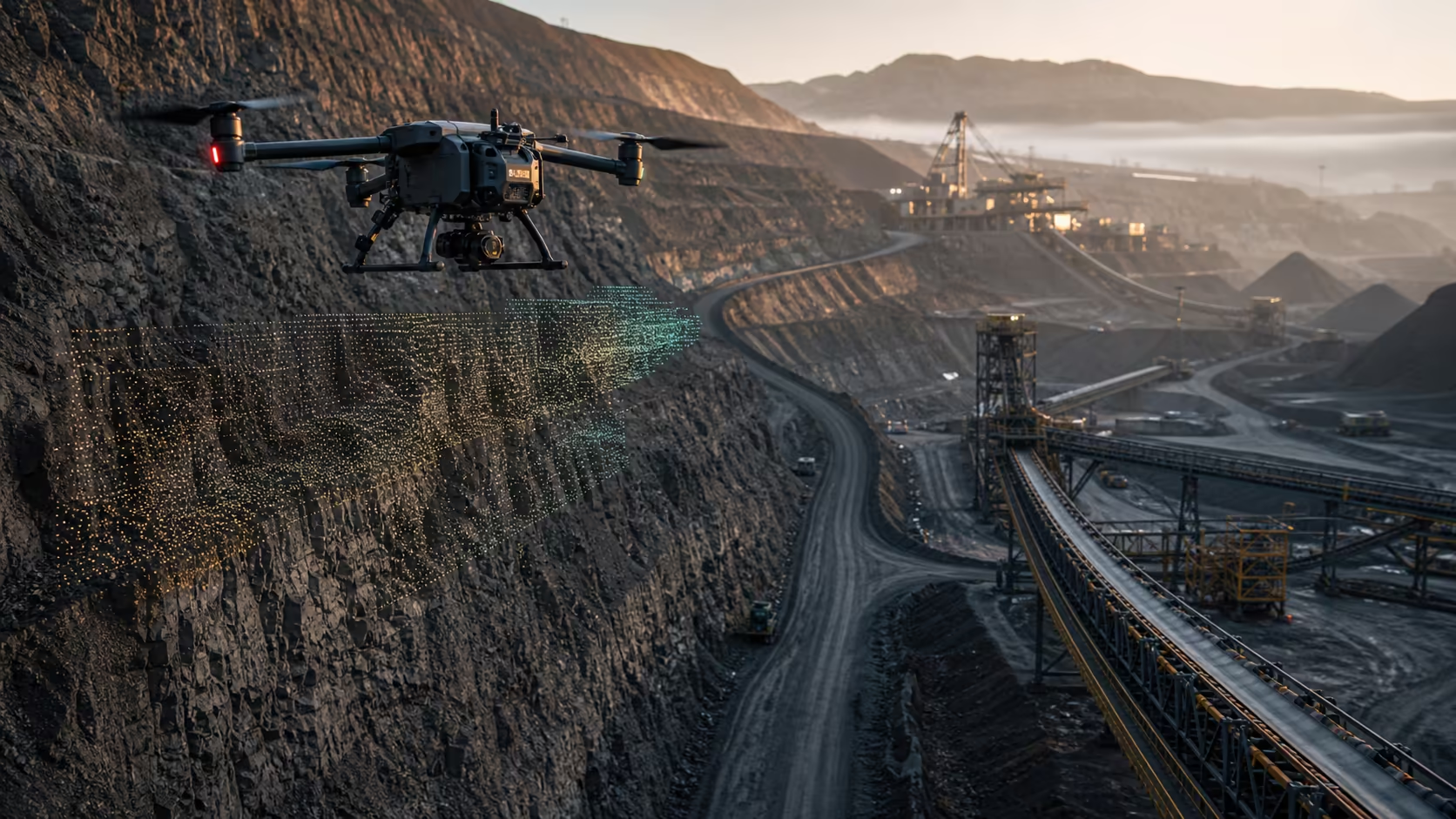
Repeat LiDAR and visual capture along approved benches to surface geometric change for specialist review.
Mining & metals / autonomous survey
AeronX repeats approved mine and metals routines across exposed terrain, conveyors, stockpiles and processing assets—then routes spatial evidence to operations, geotechnical and maintenance teams.
Configurable daily routine
Repeat LiDAR and visual capture along approved benches to surface geometric change for specialist review.
Map configured piles and material zones to support inventory and feed planning.
Inspect transfer points, guarding, spillage and visible structural condition.
Flag water, obstruction and surface conditions before movement windows.
Pit-to-plant terrain pulse
Consistent viewpoints turn slope change, road condition, stockpile geometry and conveyor access into one geotechnical and operational evidence layer.
Terrain decision record
Morning operating picture
Unify terrain, material movement, transfer infrastructure and route readiness in one morning view.
Surface change
Spillage at T-03
Within volume band
Route clear
Configurable inspection library
Repeatable geometry, surface and drainage evidence.
Configured pile boundaries, volume context and material movement.
Transfer points, guards, belts and surrounding conditions.
Obstruction, standing water, surface change and lane readiness.
Thermal and visual condition on accessible external equipment.
Dust, water and rehabilitation areas at defined viewpoints.
Measured field control
Field risk alignment
Shift readiness, route and material exceptions.
Repeat terrain evidence for specialist interpretation.
Conveyor and processing-asset condition context.
Material-zone and throughput-related operating picture.
Route-to-operation scale
Sector deployment briefing